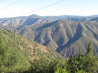
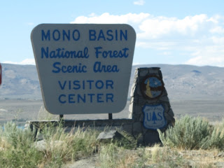
For our final day in the Yosemite National Park area we decided to explore the Tuolumne Meadow region, as well as Devil's Postpile National Monument near Mammoth Lakes, California, and Mono Lake California. Check out some of America's beautiful park landscape in these pictures!
 |
| On the way to Yosemite, this mountainside in a National Forest has been completely logged off. |
 |
| Vista from Tuolumne Meadows Road |
 |
| Another vista from Tuolumne Meadows Road |
 |
| Headed UP the Tuolumne Road |
 |
| Half Dome from North in the morning |
 |
| Avalance of ROCK...you can see why this area is completely closed in the winter |
 |
| Tenaya Lake (south to north) with High Sierras |
 |
| Tenaya Lake (north to south) |
 |
| Medlicott Dome |
 |
| High Sierras |
 |
| Pothole Dome |
 |
| Lembert Dome |
 |
| High Sierra Snow Pack |
 |
| Upper Tuolumne River |
 |
| Tuolumne Meadow in front of Mammoth Peak |
 |
| Alpine Meadow pond |
 |
| Alpine Meadow in Tuolumne Meadows |
 |
| Tioga Lake |
 |
| Unicorn Peak |
 |
| Tioga Creek |
 |
| Ellery Lake |
 |
| Tioga Pass road (closed in the winter!) |
 |
| Minaret Peaks near Mammoth Lakes, CA |
 |
| Middle Fork of the San Joquin River near Devils Postpile |
 |
| Devils Postpile National Monument (in the early 60's there were plans to dynamite this area to build a highway!) |
 |
| Devils Postpile close up |
 |
| White Island in Mono Lake (a salt lake 3 x's saltier than the Pacific Ocean) |
 |
| Black Island in Mono Lake |
 |
| Tufa- Tower formations made when fresh spring water bubbles up thru the salty lake water |
 |
| Half Dome in the afternoon sun |


Tenaya Lake looks beautiful!
ReplyDelete